This content is Read more [...]
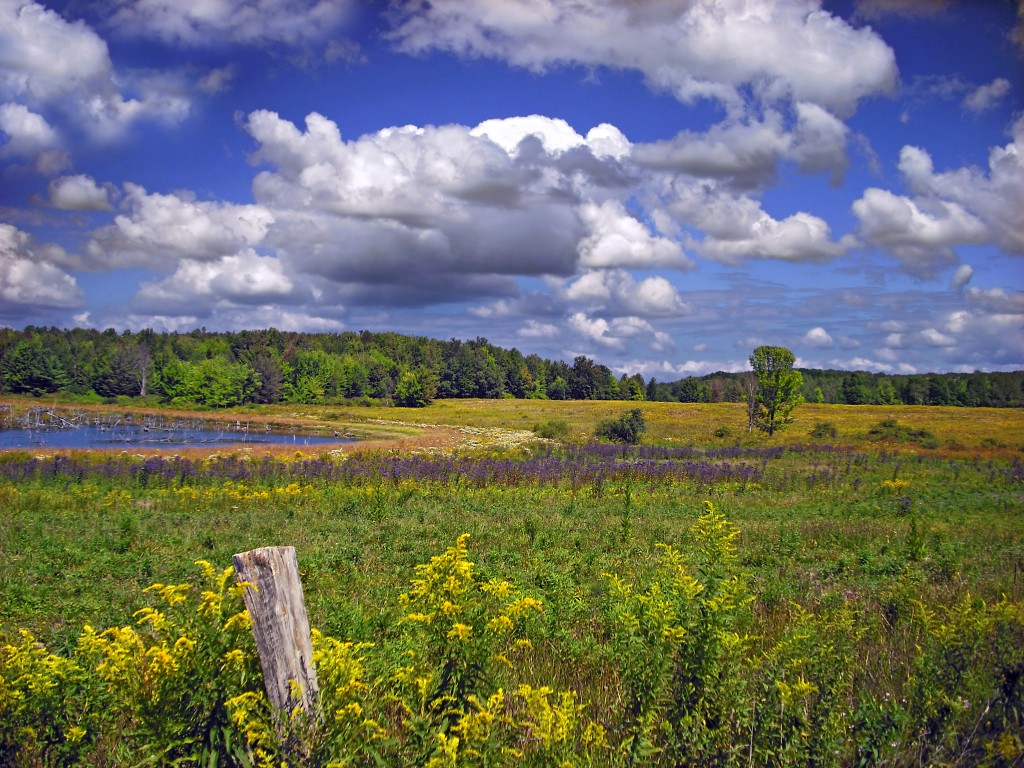
Erie National Wildlife Refuge
Attractions Category: attraction
-
This content is available only in english. Please suggest
a new version in your language.
Erving State Forest, located just north of the Millers River in the towns of Erving, Warwick, and Orange, Massachusetts, covers a central area roughly 2½ by 2½ miles wide in central Massachusetts north of the Quabbin Reservoir and also includes several nearby satellite property fragments. The property is largely wooded and hilly with an extensive network of park roads and hiking trails, the majority of which were created by the Civilian Conservation Corps. Laurel Lake, located in the center of the property, is approximately 1/4 mile wide (N-S) by 1 mile long (E-W) and has approximately 35 houses, the majority of which lie on the northern shore.Este post também está disponível em: Inglês Italiano Francês Espanhol Alemão Russo
-
-


0 Comments on “Erie National Wildlife Refuge”