The Eiffel Read more [...]
Dyer State Wayside
Attractions Category: Attraction
-
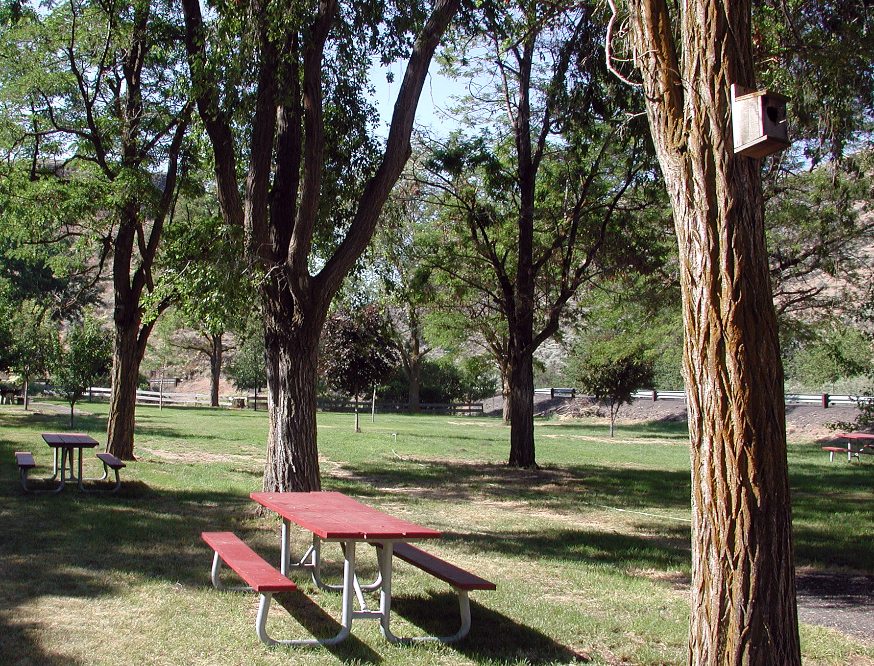
Dyer State Wayside, a rest stop with picnic tables and public toilets, lies about 10 miles (16 km) miles south of Condon, along Oregon Route 19. Named for J.W. Dyer, who gave the land to the state in 1931, it occupies 0.6 acres (2,000 m2) in a narrow canyon along a branch of Thirty Mile Creek at an elevation of 2,438 feet (743 m).In 1997, a group of volunteers called Dyer Partners renovated the park, which had become an overgrown weedpatch with rotting picnic tables. They trimmed locusttrees, built fences, repaired picnic tables, and planted fruit trees. The federal Bureau of Land Management donated two surplus toilets; the Oregon Parks and Recreation Department built vaults for the toilets and installed an irrigation system, and Gilliam County road crews made pathways and improved the parking lot.
This post is also available in: Italian French Spanish German Portuguese (Portugal) Russian
-
-


0 Comments on “Dyer State Wayside”